Consultancy Services
Consultancy Services The Hydrographic Survey Wing provides technical consultancy and expert support to government departments and organizations in the fields […]

Consultancy Services The Hydrographic Survey Wing provides technical consultancy and expert support to government departments and organizations in the fields […]

Topographic Survey A Topographic Survey involves mapping terrain elevations, landforms, and man-made structures in coastal and inland areas. It is […]
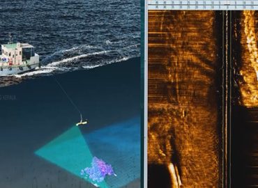
Side Scan Sonar Survey This survey uses Side Scan Sonar technology to generate high-resolution images of the seabed. It helps […]
Current Meter Observation Current Meter Observation involves the measurement and recording of water current speed and direction. The data supports […]
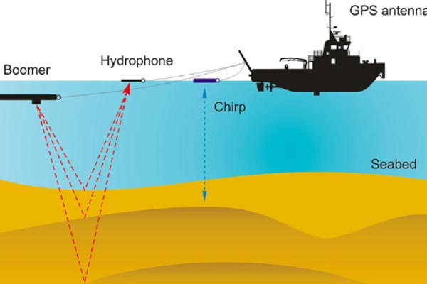
Sub-Bottom Profiling Sub-Bottom Profiling is a scientific survey technique used to study the structure, thickness, and composition of subsurface soil […]
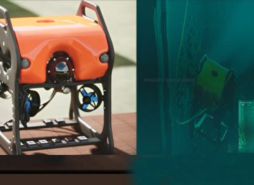
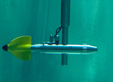
Underwater Videography Services Underwater videography is used to visually document submerged structures, seabed conditions, obstructions, and man-made features. This service […]
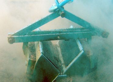
Bottom Sample Collection Soil, sand, and silt samples are collected from the bed of water bodies to assess their physical […]
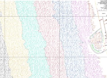
Hydrographic Chart Preparation Hydrographic and bathymetric charts are prepared using collected hydrographic data for navigation, engineering, and planning purposes. These […]
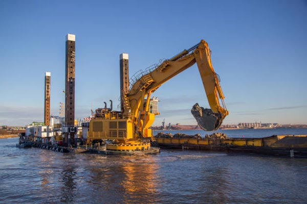
Dredging Survey Dredging Surveys are conducted before the commencement and after the completion of dredging works. These surveys provide accurate […]
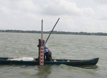
Tidal Observation Tidal Observation is the systematic monitoring and recording of sea level variations (tides). The collected data is used […]