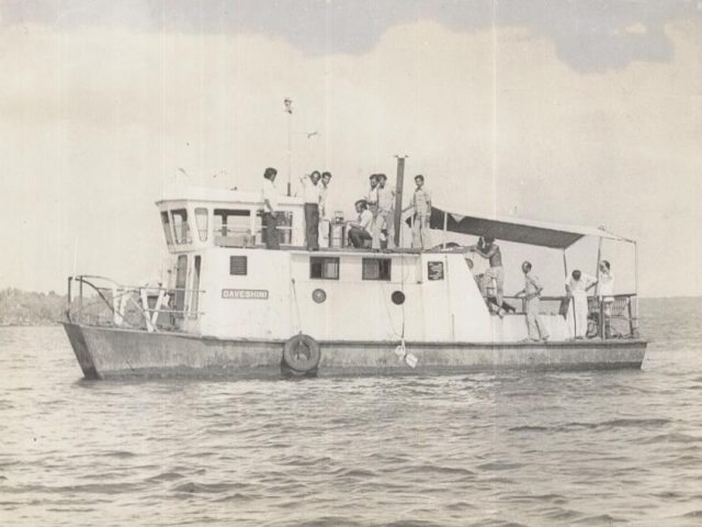
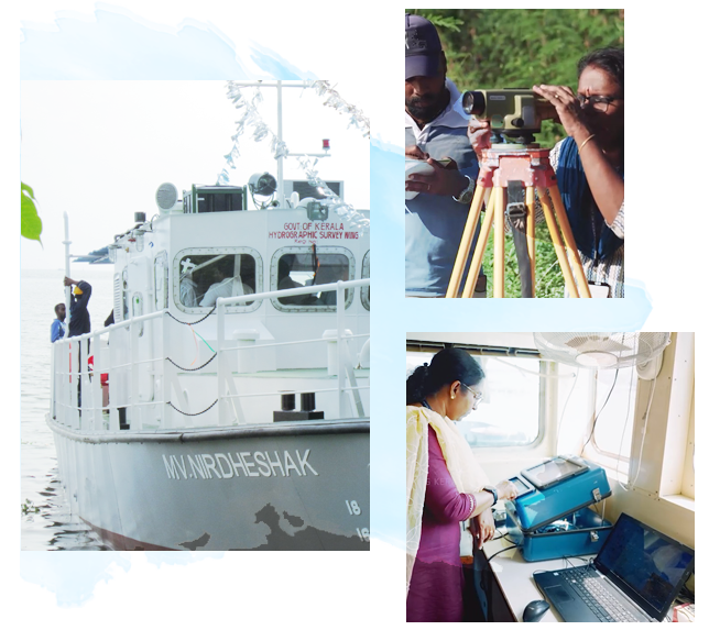
Hydrographic Survey A Hydrographic Survey...
Read More


Hydrographic Surveys
Scientific survey operations in seas, rivers, backwaters, and lakes.

Bathymetric Surveys
Measurement of water depths, mapping, and analysis of survey data.

Port Development Surveys
Survey support for the development of ports, harbours, and minor ports.

Dredging Surveys
Ensuring safety through surveys conducted before and after dredging operations.

River & Backwater Depth Monitoring
Continuous monitoring to ensure navigational safety and maintenance of waterways.

Shoreline Change Studies
Assessment of coastal erosion, coastal degradation, and shoreline variations.

Disaster Management Survey Support
Provision of data support during disaster situations such as floods and sea surges.
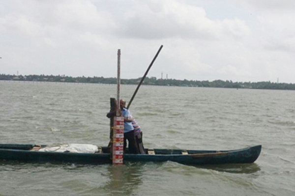
Tidal Observation
Tidal Observation Tidal Observation is...
Read More
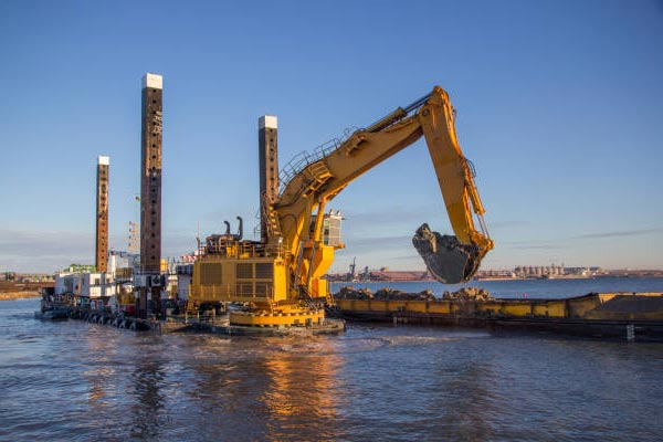
Dredging Survey
Dredging Survey Dredging Surveys are...
Read More
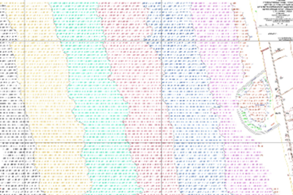
Hydrographic Chart Preparation
Hydrographic Chart Preparation Hydrographic and...
Read More
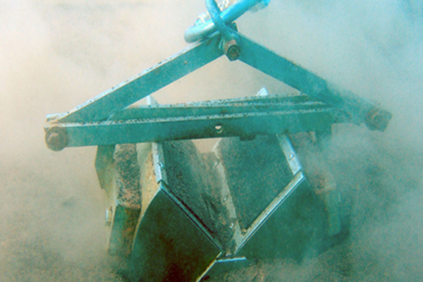
Bottom Sample Collection
Bottom Sample Collection Soil, sand,...
Read More
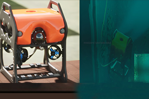
Underwater Videography Service
Underwater Videography Services Underwater videography...
Read More
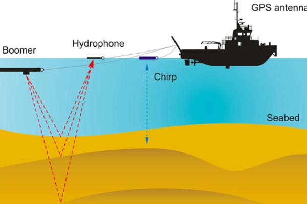
Sub-Bottom Profiling
Sub-Bottom Profiling Sub-Bottom Profiling is...
Read More
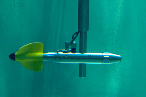
Current Meter Observation
Current Meter Observation Current Meter...
Read More
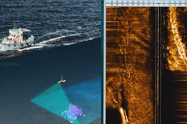
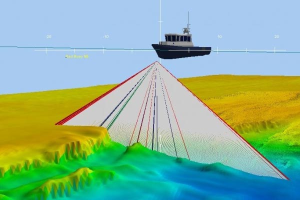
Side Scan Sonar Survey
Side Scan Sonar Survey This...
Read More
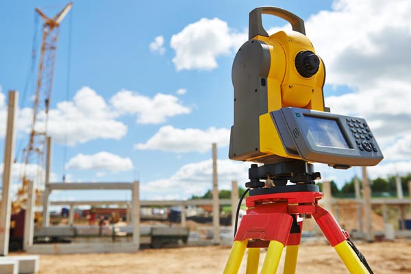
Topographic Survey
Topographic Survey A Topographic Survey...
Read More

Consultancy Services
Consultancy Services The Hydrographic Survey...
Read More