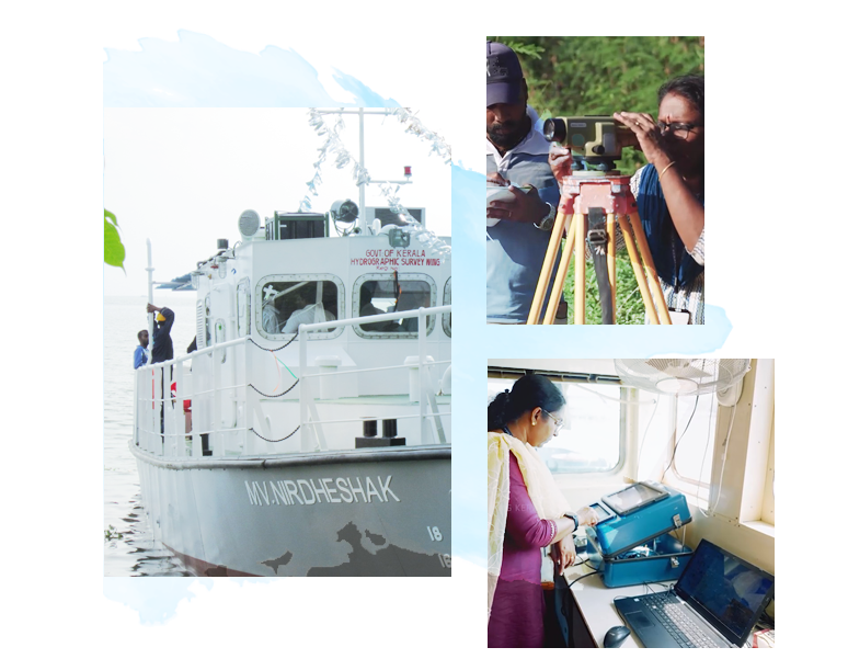
The Hydrographic Survey Wing was established in 1967 under the Government of Kerala to scientifically study and collect data on the water bodies of Kerala, a water-rich state with a coastline of 590 km, 44 rivers, and 49 lakes.
The main objective of the department is to protect Kerala’s coastal and inland water bodies and ensure safe navigation along waterways. The department provides scientific data required for the development and maintenance of ports, minor ports, jetties, and bridges.
Data generated by the Hydrographic Survey Wing is extensively used by various government departments and agencies to assess environmental changes such as climate change, sea-level rise, coastal erosion, and floods.
By utilizing modern technologies such as satellite-based systems and Differential GPS (DGPS), the department conducts surveys even in hard-to-access areas, playing a crucial role in waterway development and environmental conservation in Kerala.
Hydrographic survey wing also provided Hydrographic information requested by the National Hydrographic Office, Dehradun (under the Indian Navy), for updating their navigational charts as and when required. This ensures the accuracy of nautical charts and supports national standards of navigation safety and maritime operations.