Underwater camera
An underwater camera is a specialized waterproof imaging device used in hydrographic surveys to visually observe and record conditions beneath […]
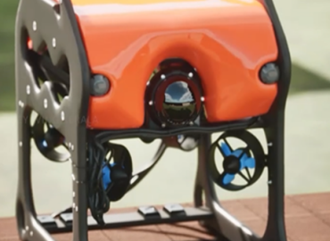
An underwater camera is a specialized waterproof imaging device used in hydrographic surveys to visually observe and record conditions beneath […]
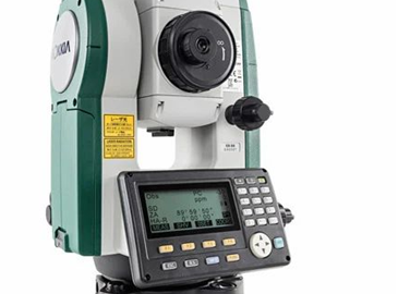
A Total Station is a high-precision instrument used for land-based survey operations. It is employed for shoreline surveys, establishment of […]
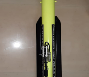
Side scan sonar is a sonar system used to generate high-resolution images of the seabed, coastal bottoms, riverbeds, and shipwrecks. […]
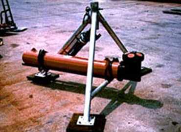
ADCP is an instrument used to measure the speed and direction of water currents in rivers and marine areas. The […]
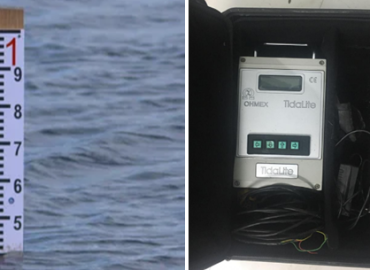
Tide poles and tide gauges are used to accurately record variations in sea level. These instruments are essential for reducing […]
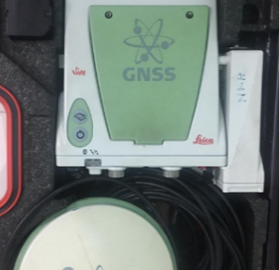
Differential GPS (DGPS) and Real-Time Kinematic GPS (RTK GPS) systems are used to ensure precise positioning for survey data. These […]
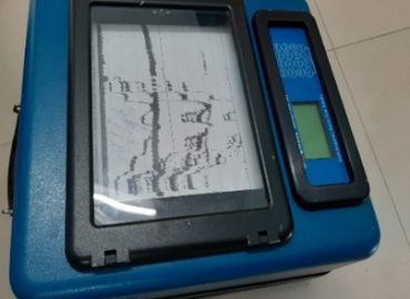
The Single Beam Echo Sounder is a fundamental instrument used for accurately measuring water depth. It is widely employed for […]
Single Beam Echo Sounder The Single Beam Echo Sounder is a fundamental instrument used for accurately measuring water depth. It […]
Survey Planning & Reconnaissance Survey objectives and scope are defined, and a detailed operational plan is prepared. The physical and […]
Survey Readiness & Workflow To implement hydrographic survey operations in accordance with scientific standards and with a high degree of […]